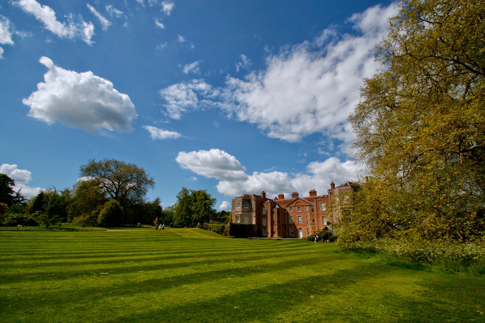
 |
| Mottisfont |
The Priory at Mottisfont was established in 1200 for Austin canons, and dissolved in 1536. After this it was turned into a private house. Not much of the original priory remains, but there is the original cellarium, and some earthworks in the grounds.
 |
| The Cellarium |
Water is a very important feature of the site, and from which Mottisfont is named. The old English word motes funta means 'spring near the confluence or stone'. A spring lies in the grounds of Mottisfont, just in front of the main building.
 |
| The River Test |
The Test river runs past the Abbey, and the surrounding fields are dotted with evidence of water management. Monastic life would have relied on agriculture and cultivating the landscape, and water would have played an important part. There are ditches that are thought to be duck decoys and fish ponds. Nearby Romsey has evidence of mills being in use from 1086. The area I was focussing on was the Water Meadows, field systems set up to direct water through the fields to provide nutrients to help the grass grow quickly. The project was done with help from the Hampshire County Council and the National Trust, and I was given information, support and access to the field I was researching.
I carried out a desktop survey of the area, using the Hampshire Records Office. It was so fascinating to look at all the old maps of the area to see how the landscape had developed and changed. I also used aerial photography provided by the National Monuments Record in Swindon to look at the evidence of features seen from the air. This turned out to be really useful, and the features of the water meadow were really clear.
The last part of the project was to carry out a resistivity survey. This was done with help from a team of friends from university, and my mum (who became an expert in geofizz!). It was not without peril though. I was surrounded by a group of very enthusiastic young cows whilst surveying, and had to use the resistivity machine as a cow prod to fight my way out. My car was also broken into in the carpark, and the university laptop with some of the geofizz results was stolen - I think the university was delighted they could get a new one! But the project battled through, and the geofizz results came back as clearly showing the water meadow features.
 |
| The geophysics results placed on a map of the field |
 |
| The digitised version of the geophysics results |
 |
| Digitised tithe map of the surrounding area, showing the land use. |
This is a very 'watered down' (excuse the pun!) version of the project, and a lot more maps and aerial photographs were produced, sadly I'm not sure I can put them up on the blog due to copyright. It was a project I really enjoyed doing, and spent hours pouring over maps and manipulating images on the computer.
As well as the history of the property, there is a lot to see for gardeners. Mottisfont is famous for it's collection of roses, and the beautiful rose garden. Our visit was a bit too early for most of the roses, but there were still lots of beautiful flowers to see.
Mottisfont is owned by the National Trust, more details of the property and visiting details can be found here: http://www.nationaltrust.org.uk/mottisfont/


